
Zooming in and out are possible with geospatial maps. Right mouse click over any map plot to view the following popup window. Select Zoom In.
Using the left mouse button, select the region to zoom in on.
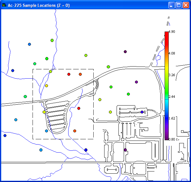
Releasing the mouse button produces the zoom.
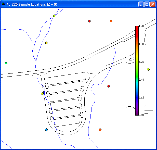
The area in the zoom box now fills the entire window. Note: SADA preseves the aspect ratio during zoom.
Zoom Out works similarly. Press Zoom Out, select the zoom area with the mouse, and the portion of the image that is visible is placed in the zoom box to cause the zoom out effect. Again the aspect ration is preserved.
Select Restore picture from the popup menu (see Zooming) to return the picture to its original scaling and position.