This interview allows the user to develop an area of concern map based on the probabilities created during the View My Initial Probability Map interview. This map is based on soft data only, before sampled data has been imported.
Availability
This interview is available for all analyses with Geobayesian data type.
Steps
These are the steps that display in the Steps Window when this interview is selected. Click on the links below for more details about the following steps.
1. Draw/Edit Prior
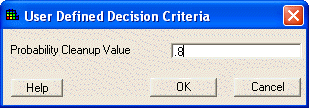
Press Show the Results. SADA will request a decision criterion for cleanup. Enter a decimal between 0 and 1 and press OK.
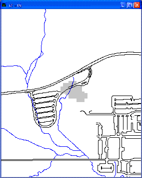
SADA displays the area of concern map for the Geobayesian data type in the Graphics Window.